


Storms could pop in your area
While hot and humid conditions remain the big story, afternoon storms remain in the forecast.
A system north of us is packing a punch and has contained storms with strong winds. While this system is falling apart, the National Weather Service has issued a Severe Thunderstorm Watch for areas along and east of Interstate 65 until 8 p.m.
Let's talk about heat
While pop-up summer storms are possible this week, that is not the big story with our weather. Very hot temperatures are forecasted to return to the Mid-South, with highs in the mid-90s, and heat indices ranging between 105 and 110 degrees.

With heat index values over 105, a Heat Advisory has been issued for much of the Mid-State from Noon to 7:00 p.m

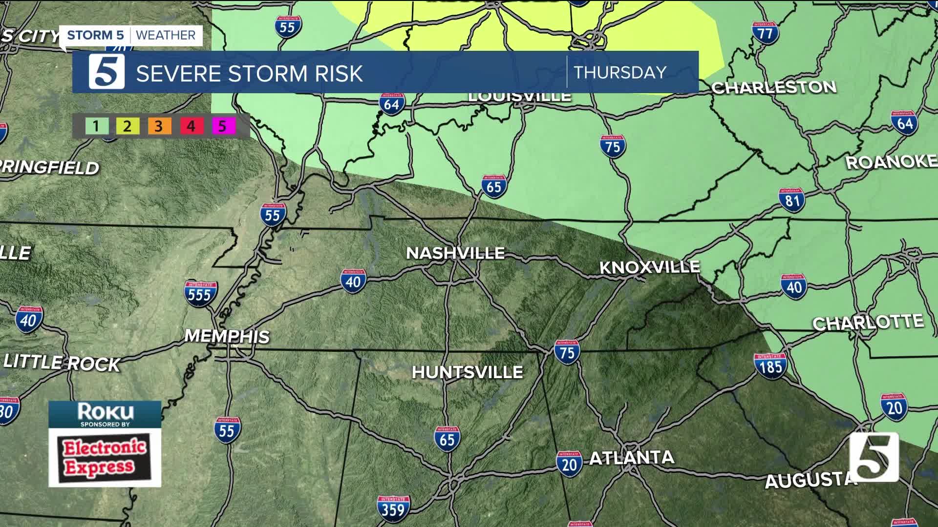
Yes, it could storm again on Wednesday
Tomorrow, there will be a chance for some strong to severe storms. This will be isolated in nature. However, the storms that pop will have the potential for damaging wind gusts, localized flooding, and possible spin-up tornadoes.

If you work outdoors, please make sure you are listening to your body. Drink lots of fluid such as water, Gatorade, or Powerade. Take frequent breaks in shady or air-conditioned areas to allow your body to cool down. Also, remember to check on the elderly and pets.
