


NASHVILLE, Tenn. (WTVF) — Threat levels are often associated with color on the weather maps we show you on TV and online.
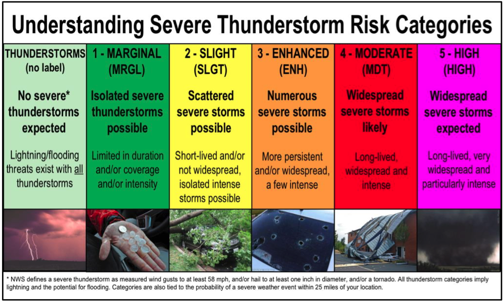
These threats — and their accompanying colors — are assigned through the Storm Prediction Center. Those colors are used to highlight the chance of severe weather. The scale ranges from one to five. One is the lowest and is green on the map. Five is the highest with a vibrant fuchsia pink.
Those severe threats include damaging winds, possible tornadoes, large hail, and heavy downpours. How likely those threats are determines how severe the risk is for our area.
Watch our Heather Mathis explain what the level three severe threat means below:
The National Weather service described the five categories of threats as follows:
1 - Marginal - Isolated severe thunderstorms possible. These storms are expected to be limited in duration, coverage, and intensity.
2 - Slight - Scattered severe storms possible. These storms are expected to be short-lived or not widespread, but isolated intense storms are possible.
3 - Enhanced - Numerous severe storms possible. These storms are expected to be more persistent and widespread, and a few could be quite intense.
4 - Moderate - Widepread severe storms likely. These storms could be long-lived, widespread and intense.
5 - High - Widespread severe storms expected. These storms could be long-lived, very widespread and particularly intense.
So, I see it on the map. How can I be prepared?
Our Storm 5 Weather team will keep you up to date through our Storm 5 Alert timeframes. We will hop online for Facebook lives, do explainers on social media and have the weather timing explained on our website.
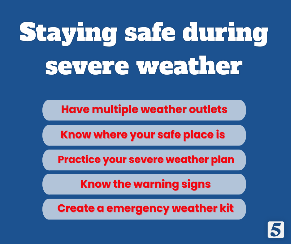
Our Storm Shield app is free, and it will give you weather alerts for your area. We also push to your NewsChannel 5 app any tornado warnings in our viewing area.
NewsChannel 5 covers 45 Tennessee counties and 5 Southern Kentucky counties.
You can view the radar right here.
