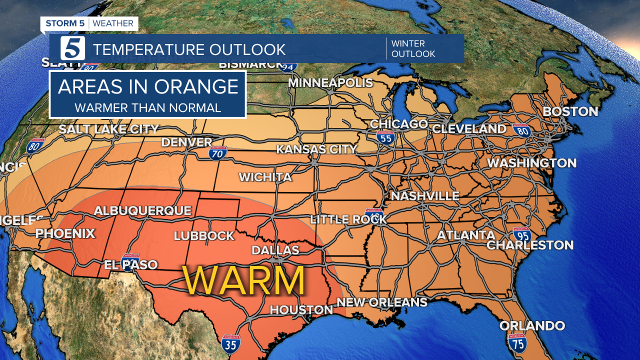
NASHVILLE, Tenn. (WTVF) — For the second year in a row, La Nina conditions are in place and are expected to remain in place until early Spring of 2022. La Nina typically leads to warmer than normal winters for the Mid-State.

The keyword here is "normal." Earlier this year the National Weather Service released new climate normals for temperatures, precipitation, and snowfall across the Mid-State. Climate normals are calculated from weather data collected over 30 years. The old normals stretched from 1981-2010, the new normals are from 1991-2020 and it's no surprise that with our climate warming our new normals are warmer, wetter, and have less snowfall.

The old normal snowfall for our area was 6.3", the new normal is 4.7". That's nearly 2" less. With La Nina conditions reinforcing a "warmer than normal" winter, it's not good news for snow lovers across the area.
It's important to remember that while a "warmer trend" is expected, it doesn't mean we can't or won't get some potent cold snaps it's just less likely. Last year was a La Nina year, and we all remember the ice/snow wallop we got in February that shut the city down for nearly a week.


